 Their First Maps
What’s over there?
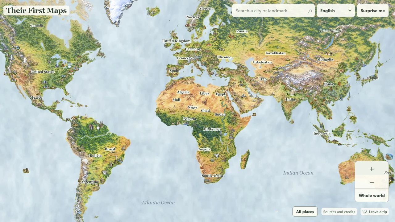
A painted world map of countries, cities, and landmarks. Tap a drawing and read a short story about the place together.
- Any age
- 11 languages
- Free in your browser
Free. No ads.
A look inside
Zoom in. Tap a drawing. Read the story.
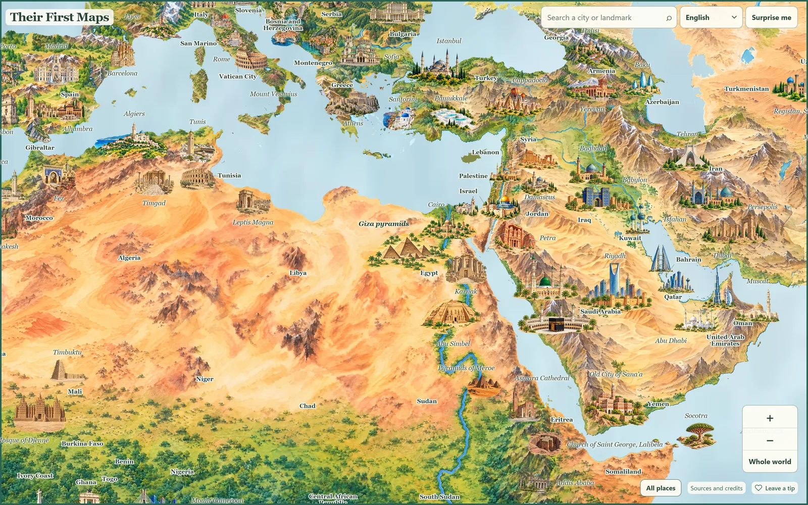
Zoom in
Every city and landmark is a little painting with its name beside it.
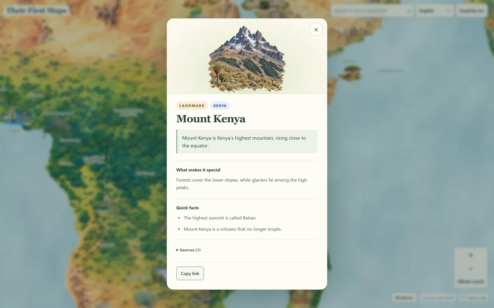
Read the story
What makes it special, a few quick facts, and the sources behind them.
At a glance
- Ages
- Any age
- Price
- Free, every place included
- Where
- Browser. Nothing to install
- Languages
- English, Spanish, French, German, Italian, Portuguese, Russian, Korean, Japanese, Chinese, Tagalog
- Offline
- Needs a connection
- Account
- None
Parents ask.
- What is on the map?
- About 260 cities and landmarks across 126 countries, each with a short story and its sources.
- Does it work on a phone?
- Yes, in any up-to-date browser. Pinch to zoom, tap a drawing to read. Nothing to install.
- Is it a game?
- No. It is a map to wander. Search for a place, or press Surprise me.